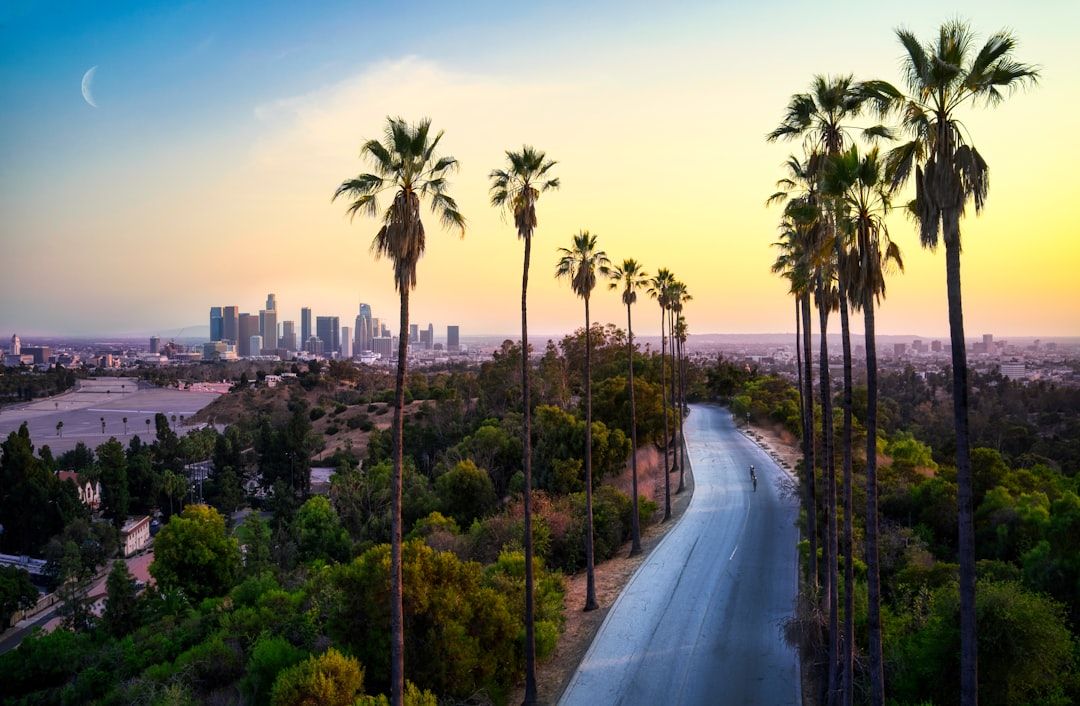
The Tour du Mont Blanc is not a difficult walk. It is a difficult booking, and the accommodation is what determines whether the trip happens at all.
The booking problem
Roughly eleven days, with limited accommodation at each stage and no realistic alternative if a refuge is full.
Many refuges open bookings in winter for the following summer, and the popular ones fill within weeks.
Because it is a circuit with fixed stages, one unavailable night can force a redesign of the whole itinerary. Book the sequence rather than individual nights, and start with the stages that have fewest beds.
Half board is standard and worth taking — the refuges are hours from anywhere else.
Bring a sleeping bag liner and cash for the smaller places.
Direction
Anticlockwise is traditional and the direction most walkers take. Guidebooks match, and you meet fewer people head-on.
Clockwise is quieter and means walking toward Mont Blanc on some sections, which some walkers prefer for the views.
Neither is harder in any meaningful way.
The variants, which are the good bits
Higher, harder alternatives to the standard stages. Considerably quieter, and usually the better option in settled weather for confident walkers.
The Fenêtre d'Arpette — the classic variant, above Champex, with a steep boulder-field descent and a view down the Trient glacier.
The Col des Fours, above the Col de la Croix du Bonhomme.
The Val Ferret high route on the Italian side.
The Aiguillette des Posettes variant near Trient.
All add ascent and exposure. Check conditions — several hold snow into July.
The three countries
France — Chamonix, Les Contamines, and the Bonhomme passes.
Italy — the Val Veny and Val Ferret, Courmayeur, and the south side of the massif, which is the most dramatic view of it.
Switzerland — Champex, Trient, and softer, greener terrain.
Carry euros and Swiss francs, or cards.
Shortening it
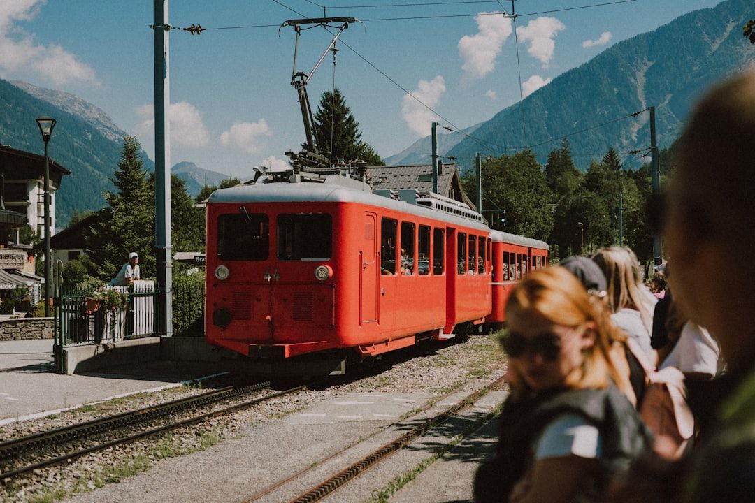
The route passes through Les Houches, Courmayeur and Champex, all reachable by public transport, which allows sections of three or four days.
Bus and lift links also let individual stages be skipped without leaving the route — the Col de Balme lift, the Courmayeur bus, and the tunnel bus between Chamonix and Courmayeur.
Using them is normal and is not cheating.
Luggage transfer
Services move bags between refuges and villages, allowing you to walk with a daypack.
Not all refuges are road-accessible, so the service covers some stages and not others — check which before assuming.
The numbers
| Distance | ~170 km |
| Total ascent | ~10,000 m |
| Days | 11 standard, 7–8 fast |
| Highest point | ~2,665 m (Grand Col Ferret) |
| Season | Late Jun–mid Sep |
The daily ascent — frequently 800–1,200 metres — is what makes it sustained rather than any individual day being hard.
Practical
September is quieter than July and August and the refuges are still open.
The UTMB race takes place in late August and fills the valley — check the dates and avoid them unless you want to watch.
Weather changes fast at the cols. Carry a shell regardless of the forecast.