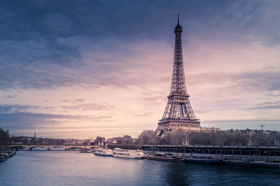
France's day walking is far better distributed than its reputation suggests. The Alps are only part of it, and several of the best regions are ones nobody associates with hiking.
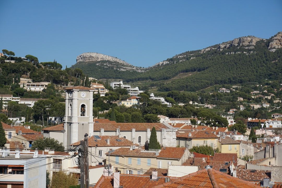
The Calanques
Limestone inlets between Marseille and Cassis, with turquoise water at the bottom of white cliffs, reachable by bus from either end.
Access is restricted in summer for fire risk, with a daily rating published each evening for the following day. Checking before setting out is essential — the restriction is enforced and the zones close entirely on high-risk days.
Calanque d'En-Vau is the most dramatic and involves a steep descent. Sugiton is closer to Marseille and now has a quota in peak season.
No water on the routes, no shade, and the rock is slippery underfoot.
The Verdon
Europe's deepest gorge.
The Sentier Martel — along the gorge floor, with tunnels, ladders and staircases cut into the rock, around six hours one way.
A torch is required for the tunnels, and it is a linear route needing transport at the far end.
The Sentier de l'Imbut is harder and quieter, with cables.
The rim road above gives the views without the descent.
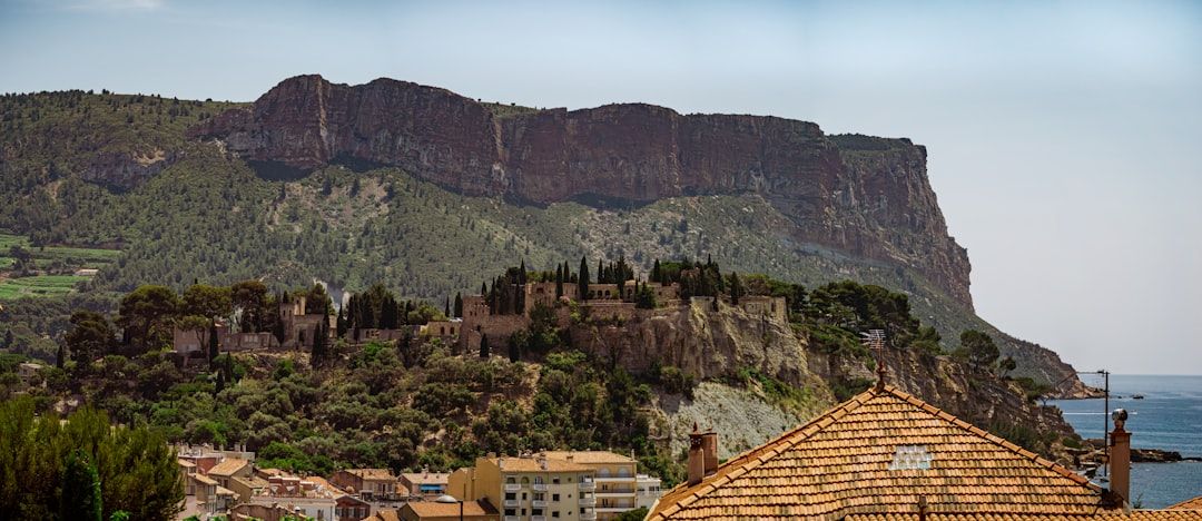
The Auvergne
The cheapest and least-visited outdoor region in France.
The Puy de Dôme — the centrepiece of the Chaîne des Puys, a UNESCO chain of extinct volcanoes, with a footpath and a rack railway to the summit and the remains of a Roman temple at the top. A major paragliding site.
Puy de Sancy, the highest in the range, with a cable car and ridge walking.
Puy Mary and the Cantal, further south.
Volcanic cones you can walk up in an hour, one after another.
Brittany's coast
The GR34 — around 2,000 km following the entire Breton coastline, originally a customs officers' path built to catch smugglers.
Almost nobody walks it in full. It works as an endless series of day sections between coastal towns served by buses.
The Côte de Granit Rose around Ploumanac'h, with pink granite boulders on the shore.
Pointe du Raz and the Crozon peninsula for the dramatic sections.
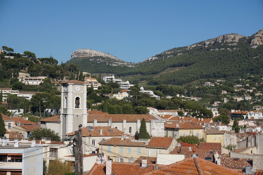
The Pyrenees
Cirque de Gavarnie — a glacial amphitheatre with a 400-metre waterfall, walkable from the village in about three hours return.
Lac de Gaube and the Vignemale approach.
The Ossau valley, with the Pic du Midi d'Ossau dominating it.
Quieter than the Alps and, for walking, arguably better.
The others
| Region | Walk |
|---|---|
| Corsica | Coastal Mare a Mare, or GR20 sections |
| Vosges | Rounded summits, ridge routes, easy access |
| Jura | Gorges, waterfalls at Hérisson, quiet |
| Normandy | Cliffs at Étretat |
| Cévennes | Stevenson's route with a donkey, or without |
Practical
IGN 1:25,000 maps are the standard and are excellent.
GR waymarking is red-and-white; a crossed flash means wrong way.
Rent a car locally from a regional airport rather than driving out of Paris.
Sunday and Monday closures in small towns, and mid-August closures in rural areas.
Check fire restrictions in Provence and Corsica from June to September.