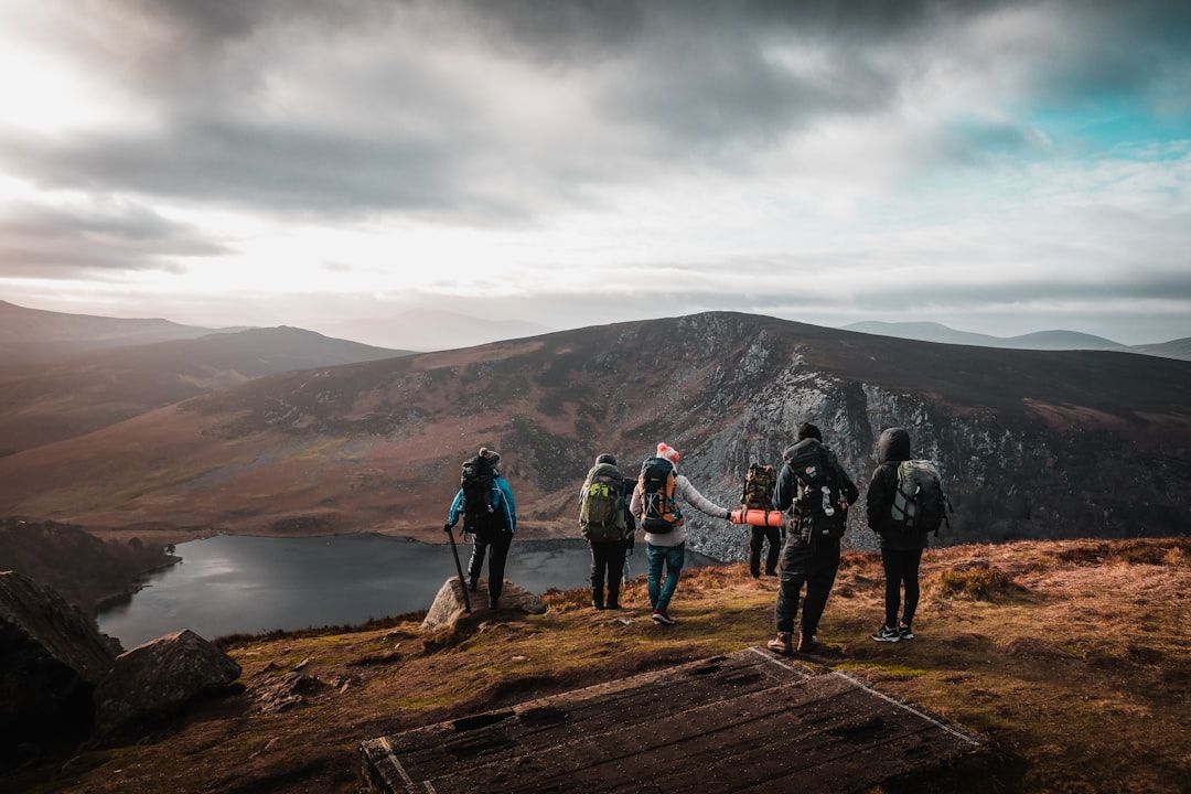
Most people live within an hour of decent walking and do not know it, because the information sits in places they never look.
Start with official mapping, not an app
National mapping agencies show legal rights of way rather than only popular routes.
Ordnance Survey in Britain, IGN in France, swisstopo in Switzerland, Tabacco and CAI mapping in Italy, and the national equivalents elsewhere.
These show paths that exist legally but have no app presence, which is where the empty walking is.
A public right of way is a legally protected route across land that may be private, which the public may use on foot regardless of the owner. Britain's network is unusually dense; comparable systems exist across Europe under different names.
Then cross-check with a platform
Route platforms are good for two things:
Discovering popular walks, which is useful when you have no idea where to start.
Recent condition reports in the comments — a bridge out, a path overgrown, a ford impassable.
They are less reliable on whether a path legally exists or is currently passable, which is why cross-checking against official mapping matters. A recorded track someone once walked is not a right of way.
The sources nobody checks
Local walking clubs. Nearly every region has one, they publish route descriptions, and their programmes are usually open to visitors. The routes are chosen by people who walk there every week.
Long-distance path associations — they publish detailed section guides, and a section is a day walk.
National park and forest authorities, whose leaflets and websites list waymarked routes with parking and transport.
Local libraries, which frequently hold walking guides for the immediate area that were never digitised.
Sections of long routes
The most reliable way to find good local walking.
National trails are designed around public transport, which means a section between two served points is a ready-made day walk.
Bus and train timetables effectively define the options, and one-way sections beat out-and-back loops — you see new ground all day.
Britain's national trails, France's GRs, Germany's Wanderwege and the Camino's stages all work this way.
What makes a good day walk
A high point, or a coast, or water — something that gives the route a shape.
Somewhere to stop at roughly two thirds of the way.
Public transport at both ends, which removes the car and the loop.
Varied ground, since a route that is all forest track becomes tedious after two hours.
Judging the effort
Ascent, not distance. A flat 20 km walk and a 10 km walk with 1,000 metres of climbing are different days entirely.
Naismith's rule: one hour per 5 km, plus an hour per 600 metres of ascent, then add a third for breaks and rough ground.
Practical
Check what time the last bus is before setting out. This is the constraint that ends more day walks than weather.
Carry a head torch even on a short walk in winter.
Tell someone the route if walking alone.